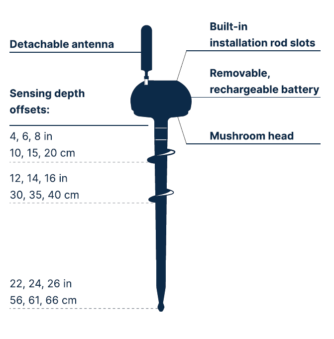
CropX redesigned the soil sensor to make it even more reliable and customizable
- Measurements of VWC and EC at all 3 depths and temperatures at the top two depths
- Virtual sensing - calculating moisture every 4" from 8" to 26" or every 10 cm from 20 cm to 66 cm
- Sensor depth offset - for installation at varying depths to match optimal crop rooting needs
- Automatic soil water budget line detection
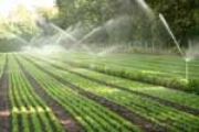
CropX is the only DIY system in the market and it only takes less than 5 minutes to install.
CropX Soil Sensor Data Collection
Intervals of data measurement and transmission to the CropX cloud can be remotely configured and adjusted to each crop’s unique needs. The data is geo-tagged based on GPS coordinates creating geospatial time series for all measured data.
Moisture: Measurement of volumetric water content (VWC) values via ADR sensors. Moisture values are converted from electric impedance to VWC levels using a proprietary self-calibration method. Moisture values have an accuracy of +/- 0.5% across a range of 0-60% VWC.
Temperatures: Temperatures are measured with an accuracy of +/- 0.5°C (max) and an operating range of -10°C to +70°C. Each unit also measures the internal temperature of the unit above ground, which can help with increasing the precision of weather data.
Electric Conductivity (EC): Measurement in decisiemens/m, with an operating range of 0-5 decisiemens/m (bulk), representing the soil salinity level, which can be used to manage crop salinity regime
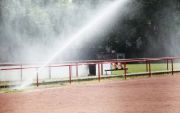
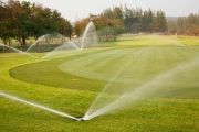
Adaptive, Variable-rate Irrigation Management & Automation
The CropX app can help figure out exactly how much to irrigate the field, by providing an irrigation prescription that is constantly adapting to the changing conditions of the field.
By factoring in thousands of data points from previous cases, we can predict water-uptake patterns, detect faulty irrigation system and burst pipes and improve the decision-making process.
Crop-specific management: Solving crop variability and risk
By analyzing crop growth against crop models, we can predict the crop’s needs and expected growth, and can detect any deviation and identify early-stage field variability and non-uniformity of crop growth.
We provide crop-specific recommendations and send alerts about field segments that need attention due to potential risk from pests or diseases.
Do your plants have problems? We’ll know before they do.
Optimized fertilizer management to reduce crop loss
We take crop loss very seriously and ensuring that nitrogen is available to crops when they need it most is one important step to reducing crop loss.
We integrate crop models, satellite imagery and weather forecast data alongside the soil data we analyze to optimize fertilizer availability and create crop-specific application recommendations.
Built with Your Business’ Needs in Mind: Manage all of your clients’ fields from one simple cloud platform
Do you manage fields that span 400 acres? 4,000 acres? That’s a lot of data to manage and act on. We connect all of your fields on a single platform and implement customized roles and permissions so each user can have separate privileges and notifications.
Precise Weather
CropX is using various ag-specific weather data services to obtain precise weather information relevant to the users and CropX’s algorithms.
For each location CropX chooses the best relevant data source, according to various parameters.
Weather information includes air temperature, humidity, wind speed, evapotranspiration (ET), precipitation, min and max temperatures and more.
One-week forcasts are presented and all data can be exported.
Aerial Imagery
For each field, we pull high-resolution aerial images from several sources, using many ag-related indices including Normalized Difference Vegetation Index (NDVI), Normalized Difference Water Index (NDWI), Moisture Stress Index (MSI), True Color (RGB) and other relevant indices.
Images are collected from several satellites, which allow CropX to retrieve a new image for every field every two to three days in average.
Topography Maps
Topography has a huge impact on the flow of water and nutrients in the soil and in the field.
CropX uses Digital Elevation Maps (DEM) retrieved from various sources, to provide high resolution.
Soil Mapping
Soil type and texture are essential to the correct calculation of precise moisture levels, irrigation regime, hydraulic properties and organic matter.
We use publicly-available soil maps and allow for upload of customers’ existing EM and GIS Spatial maps, and users can input data on soil specification, so that the platform can analyze these parameters.
Hydraulic Models
CropX Sensor provides a series of geospatial-temporal moisture level measurements, iterating periodically over time for each specific depth in which CropX Sensor is equipped with an electrode.
In order to make those depth-specific measurements into a continuous sensor, capturing an accurate view of the soil’s water content, a highly precise hydraulic model is being used.
This model enables CropX to simulate the soil’s water content starting from the ground level downwards, going down as deep as two meters below the root-zone as well as providing historical analysis and future prediction.
Using the continuous properties which are being calculated as part of the model, CropX can improve the precision of the field irrigation plan in order to reduce water usage.
Furthermore, the model can be used to control fertilizers distribution in the soil, as well as monitoring the plant’s uptake rate, at the exact depth of the crop’s effective root zone.
Crop Models
CropX uses many crop models in order to learn and understand the behavior of its supported crops from all the relevant aspects – water uptake, growth stages, nutrient uptake, water and salinity stresses and more.
The infrastructure developed allows CropX to manage these models on a regional basis, understating that Corn growth in Arizona’s arid climate may differ significantly than Corn growing in Australia’s tepid climate.
Our machine learning algorithms constantly adapt these models to the actual growth of the supported crops, thus refining these models continuously.
Currently supported crops include:
Sweet Potato, Wheat, Sugar Cane, Cotton, Maize, Soy, Sunflower, Peas, Quinoa, Green Beans, Carrot, Sugar Beet, Tef, Sorghum, Tomato, Rice, Corn, Barley, Potato, Winter Wheat, Onion, Canola, Alfalfa and Grass Lands, with additional 20 crop types and varieties currently in the pipeline.
User Input
In order to provide its customers with meaningful insights, alerts and information, CropX collects information from its end users, relevant to CropX offering, including field size and location, irrigation system and parameters, crop type and related info (such as growth cycle, planting date, expected GDD), irrigation management thresholds, and more. This data too is then geo-tagged and correlated with units’ data.
How it works
An algorithm that leverages both above and below ground data layers.
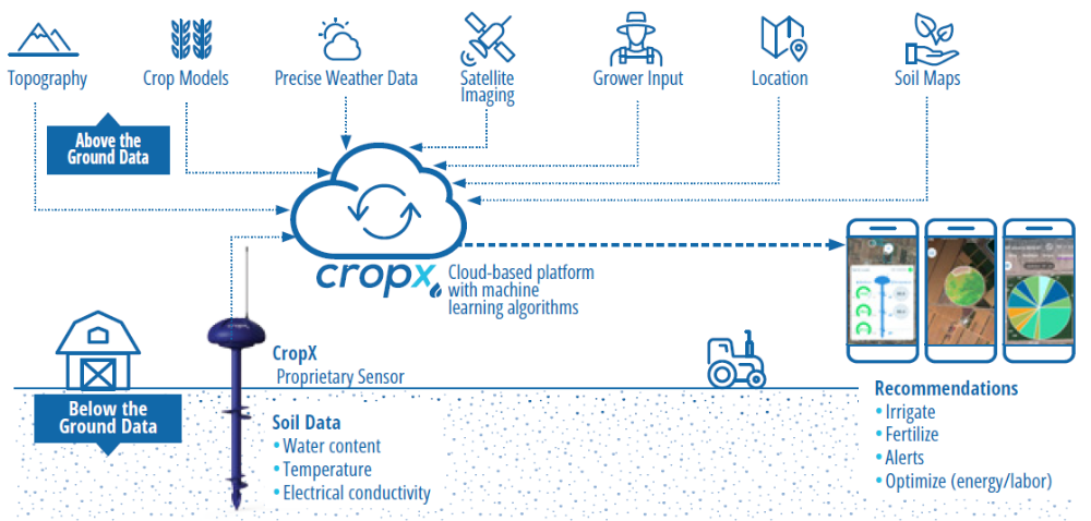
Each sensor collects moisture, temperature and electrical conductivity at multiple depths. Intervals of data measurement and transmission to the CropX cloud can be remotely configured and adjusted to each crop’s unique needs.
Data is geo-tagged based on GPS coordinates creating geospatial time series for all measured data.
The CropX models constantly adapt to the crop’s growth stage and to the changing conditions of the soil and weather to provide crop-specific recommendations that help achieve maximal yield.
How it could be used on your property
Adaptive, variable-rate irrigation prescriptions are automatically generated to optimise input application, potentially leading to significant water, fertiliser, energy, and labour savings.
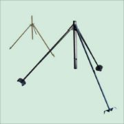
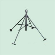
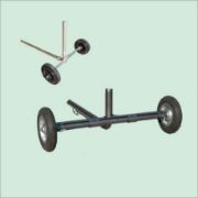
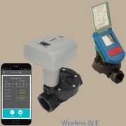
Installation
The patented best-in-class CropX soil sensor makes it easy to collect soil moisture data. Simply install and register the product into your account with the QR code. The cloud-based CropX platform will collect data such as water content, temperature and electrical conductivity from the sensor.
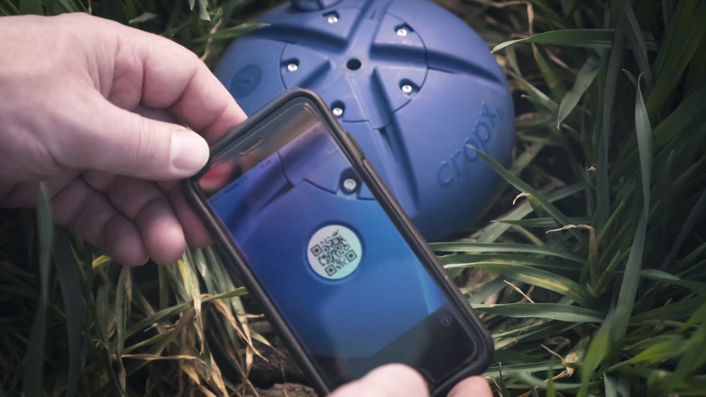
QR Code - Sync with Mobile Device
|
From there, the data is analyzed for you to make personalized recommendations for your farming operation. From soil moisture to fertilization levels, you’ll have the latest information available at your fingertips to make the best decision for your crops – all while saving you time and energy costs.